DataDigital Building Surveying

Unlocking Circularity
Digital surveying and
potential analysis
Unlocking Circularity
Digital surveying and
potential analysis
orto is an interdisciplinary specialist, integrating building data in collaborative workflows.
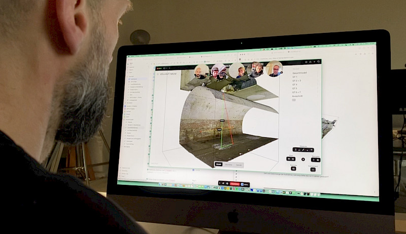
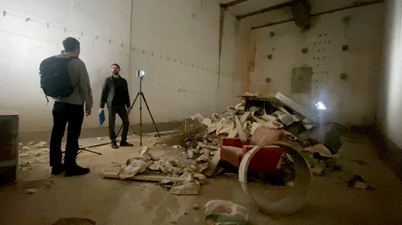
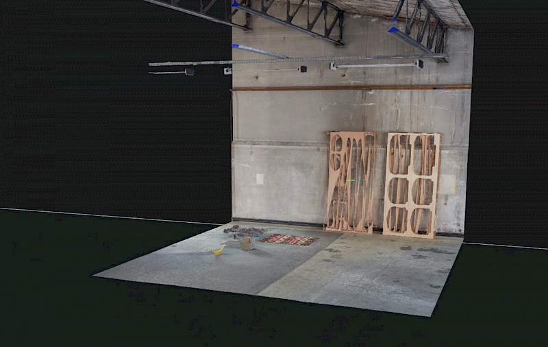
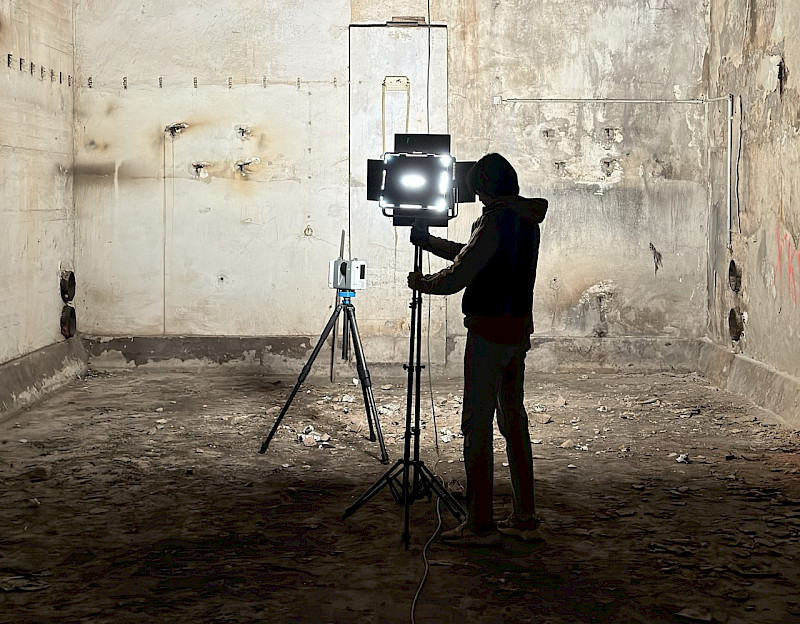
We reconstruct and model existing buildings using scan technologies and construction analysis methods to enable sustainable decisions for planners and developers.
Since 2022, we foster collaboration in 3D building data with our software orto space, bringing precision where it matters most – at the beginning of the planning process.
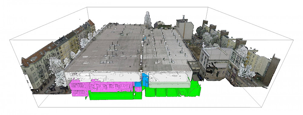
KDL
37.800m2
Vollgut, Kindl Brewery Berlin
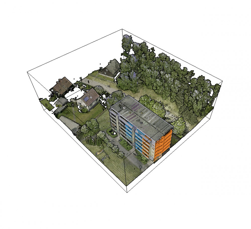
HAFF
4,860m2
Prefabricated building WBS70, Stettiner Haff
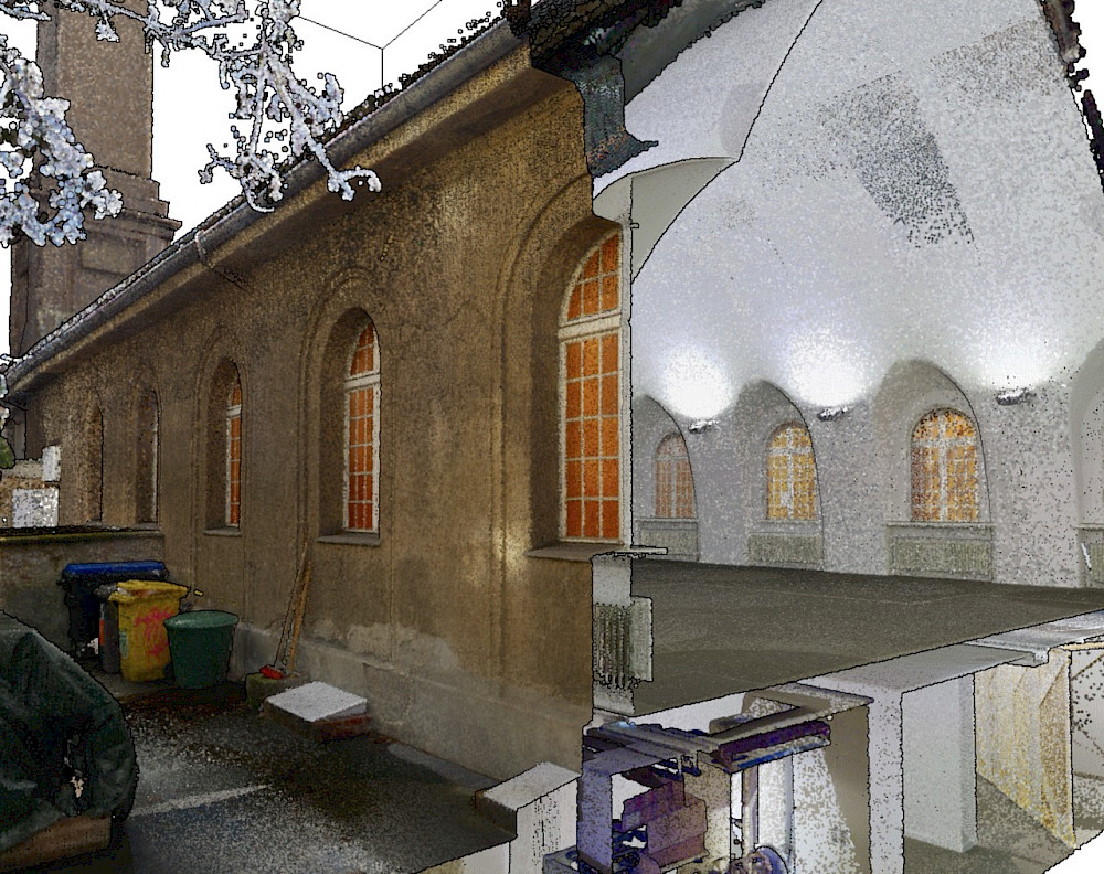
ARS
977m2
Arsenal, silent green, Berlin Wedding
We can't afford not to do it.
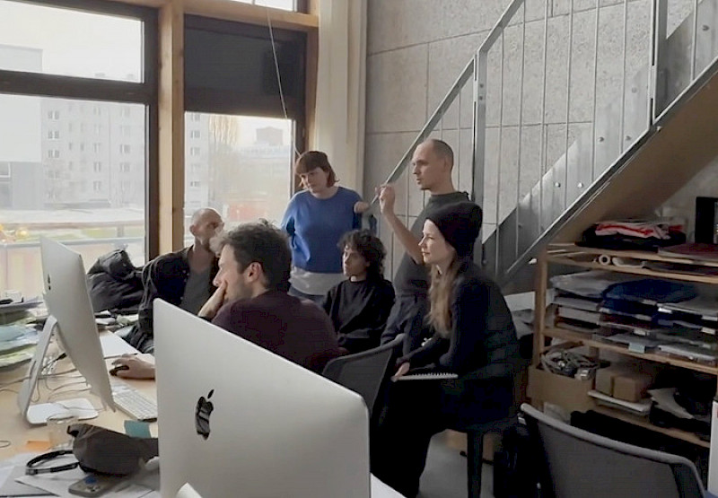
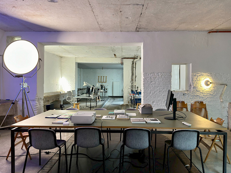
We are architects, sustainability manager, software developer, and designer. We work at these intersections to make planning and developing in existing buildings easier.
To make the potential of data sustainably usable, we develop our services and software in close collaboration with industry clients, as well as technology and research partners.

Ausgezeichnet als innovativstes
Digitalprodukt 2025









Automated Point Cloud Segmentation
for Building Stock Qualification
2026–2027
Project period
Dismantling and Material Re-Use
Component extraction from point cloud data
Real-time material database matching
Simultaneous digital analysis
Buildings are demolished every year. Not because they have reached the end of their useful life, but because reliable as-built data is missing. Incomplete documentation creates planning and financing risks that structurally disadvantage renovation and reuse in favour of new construction.
The consequences are significant: valuable materials, embodied carbon and established building fabric are lost — despite the EU Green Deal, the National Circular Economy Strategy and ESG requirements all demanding consistent resource conservation. Germany's fee schedule for architects and engineers (HOAI) estimates the additional cost of refurbishment at 20%. In practice, it regularly exceeds 60%. As long as this data gap persists, circular construction projects remain economically and operationally disadvantaged.
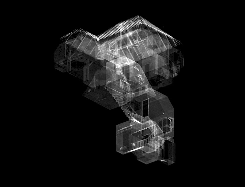
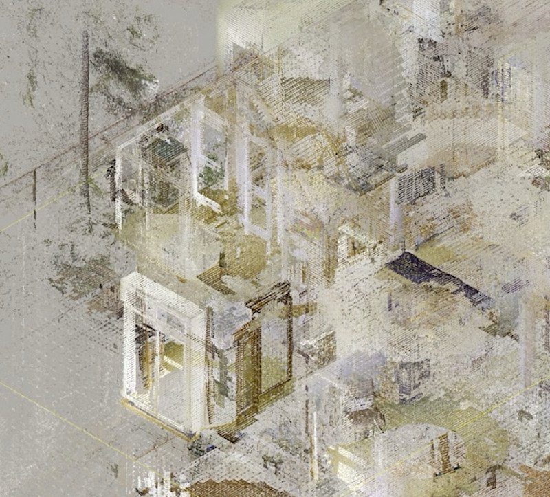
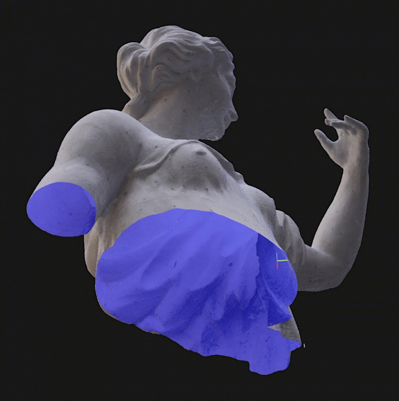
This is the starting point for the RE-3D development project. Using AI-driven software, 3D point cloud data is analysed automatically: building components are segmented, materials classified and matched in real time against Ökobaudat and EPD databases (Environmental Product Declarations). A single scan produces a qualified building stock dataset, applicable to circular planning, deconstruction concepts and the targeted transfer of components into their next life cycle.
The technological development is funded by the Berlin Senate and the European Union. The project forms part of a broader commitment to a climate-responsible construction industry and the effective implementation of circular planning standards across existing building stock.