DataDigital Building Surveying

Unlocking Circularity
Digital surveying and
potential analysis
Unlocking Circularity
Digital surveying and
potential analysis
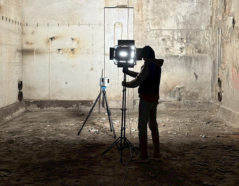
orto is an interdisciplinary specialist, integrating building data in collaborative workflows.
We reconstruct and model existing buildings using scan technologies and construction analysis methods to enable sustainable decisions for planners and developers.
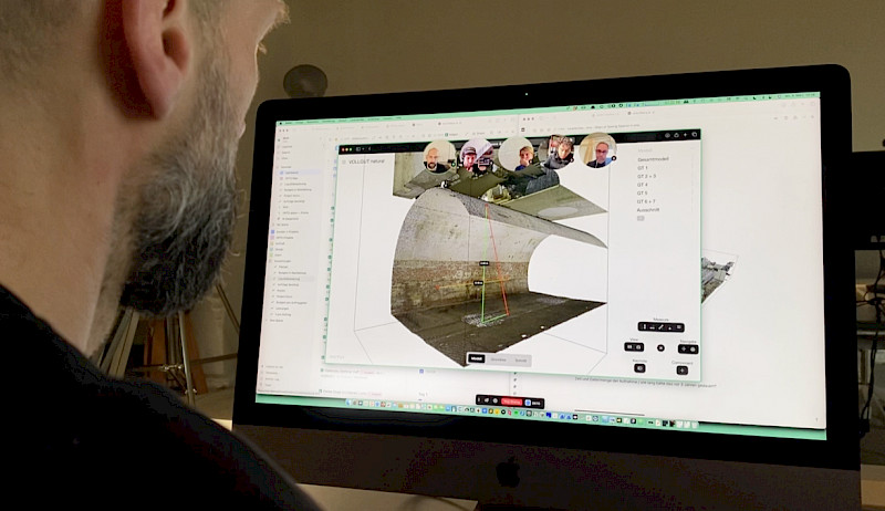
Since 2022, we foster collaboration in 3D building data with our software orto space, bringing precision where it matters most – at the beginning of the planning process.
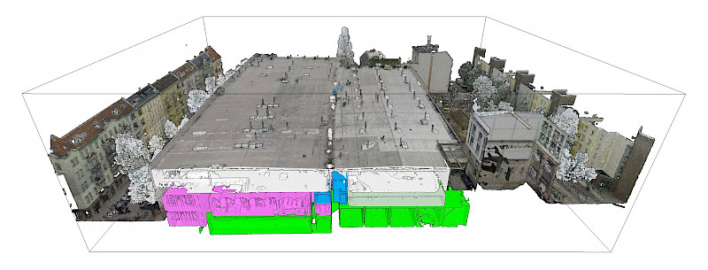
KDL
37.800m2
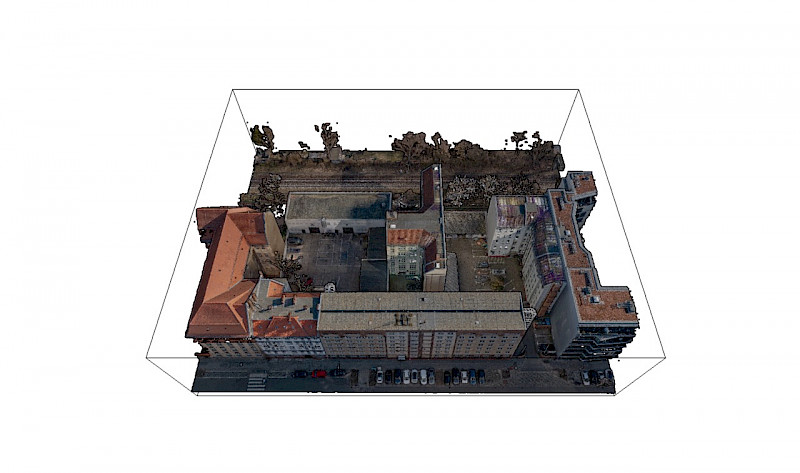
Vollgut, Kindl Brewery Berlin

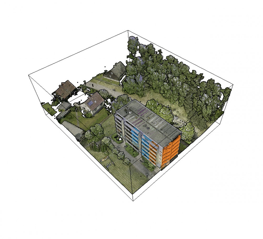
HAFF
4,860m2
Prefabricated building WBS70, Stettiner Haff
ARS
977m2
Arsenal, silent green, Berlin Wedding

We can't afford not to do it.
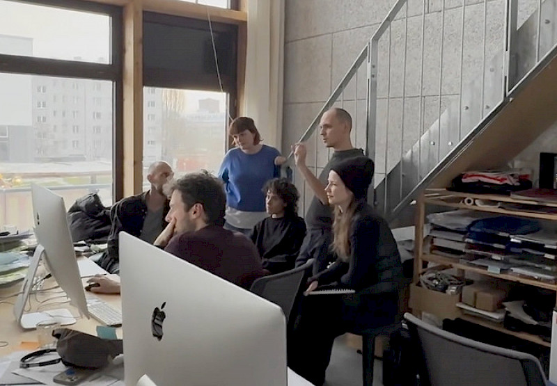
We are architects, sustainability manager, software developer, and designer. We work at these intersections to make planning and developing in existing buildings easier.
To make the potential of data sustainably usable, we develop our services and software in close collaboration with industry clients, as well as technology and research partners.

Ausgezeichnet als innovativstes
Digitalprodukt 2025


Building analysis for conversion planning
Private client
200m2
Ground Area
15 GB
Raw Data
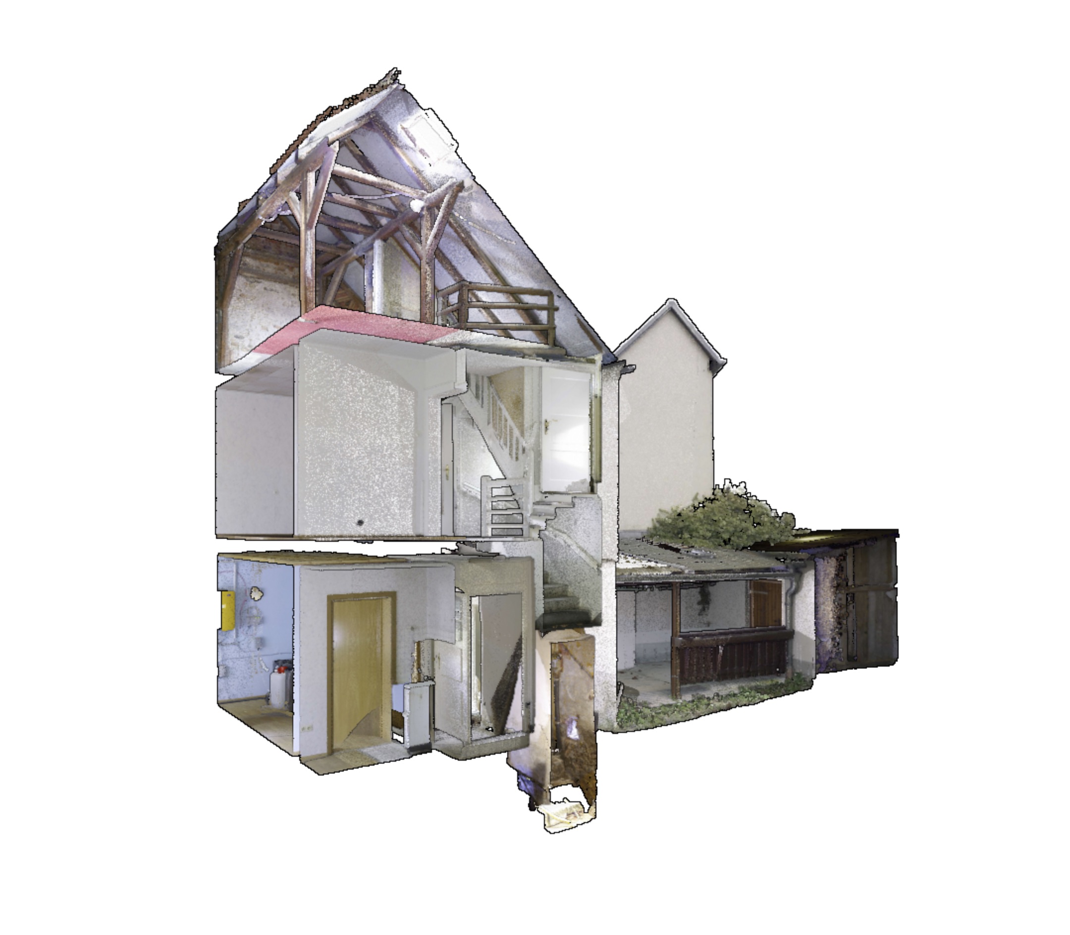
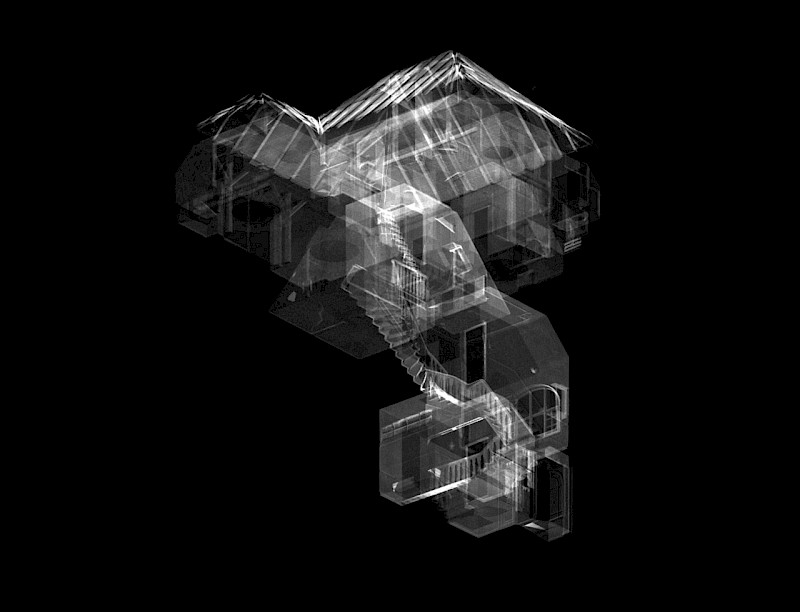
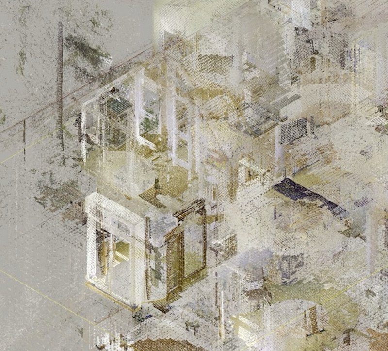
A detached house from the 1960s is to be remodelled and extended with a new extension. A precise digital inventory is required for the planning, which not only includes the 200m² building, but also the context of the neighbourhood and the open spaces. The captured 3D data serves as the basis for a BIM model, which is used both for coordination with the client and for coordinating the trades.
The data is managed via orto as a central platform in order to efficiently control the as-built analysis and further planning. Special emphasis is placed on gaining an insight into the beam construction, analysing harmful substances and providing a detailed planning basis for extensions and new builds. The technical infrastructure, such as the connection of an e-vehicle charging station, is also taken into account.
Digital data storage enables end-to-end traceability of all conversion decisions and access to older building data. The continuous storage of intermediate statuses ensures that all those involved in planning can access current and historical information at any time - a crucial basis for well-founded and sustainable construction planning.