DataDigital Building Surveying

Unlocking Circularity
Digital surveying and
potential analysis
Unlocking Circularity
Digital surveying and
potential analysis
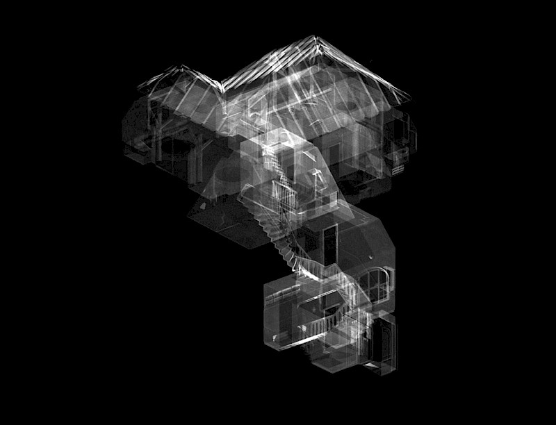
orto is an interdisciplinary specialist, integrating building data in collaborative workflows.
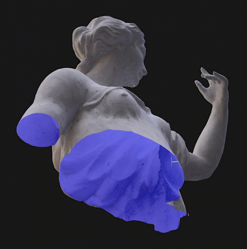
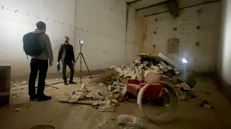
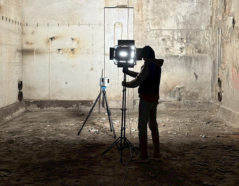
We reconstruct and model existing buildings using scan technologies and construction analysis methods to enable sustainable decisions for planners and developers.
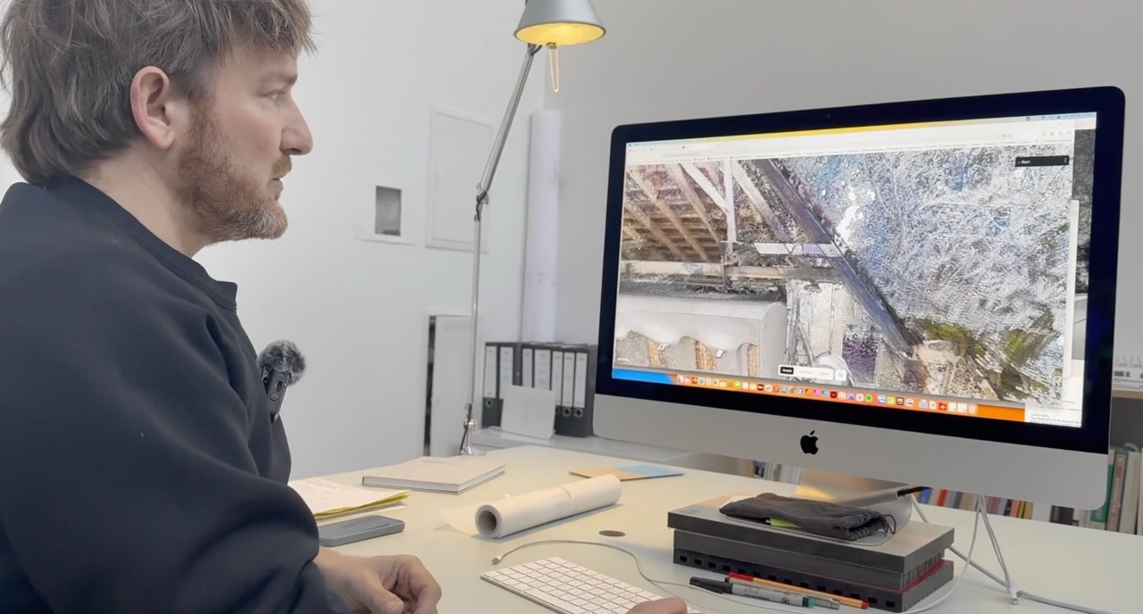
Since 2022, we foster collaboration in 3D building data with our software orto space, bringing precision where it matters most – at the beginning of the planning process.
KDL
37.800m2
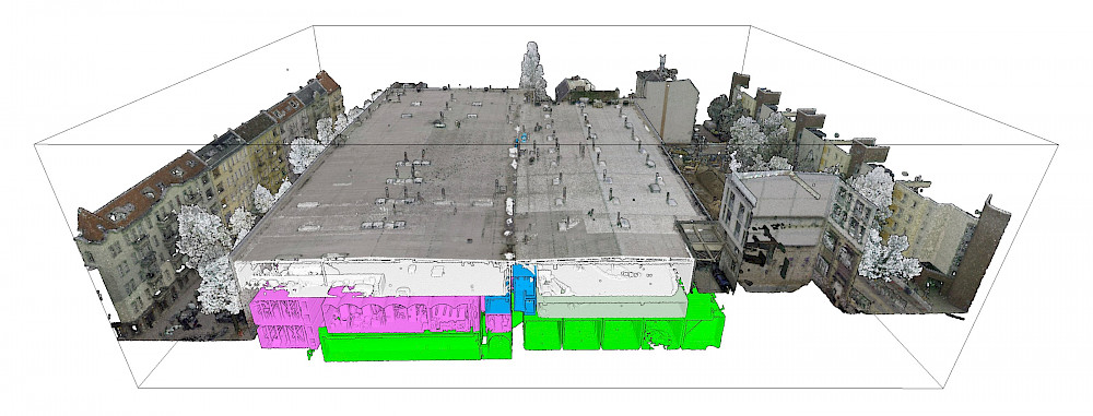
Vollgut, Kindl Brewery Berlin
HAFF
4,860m2
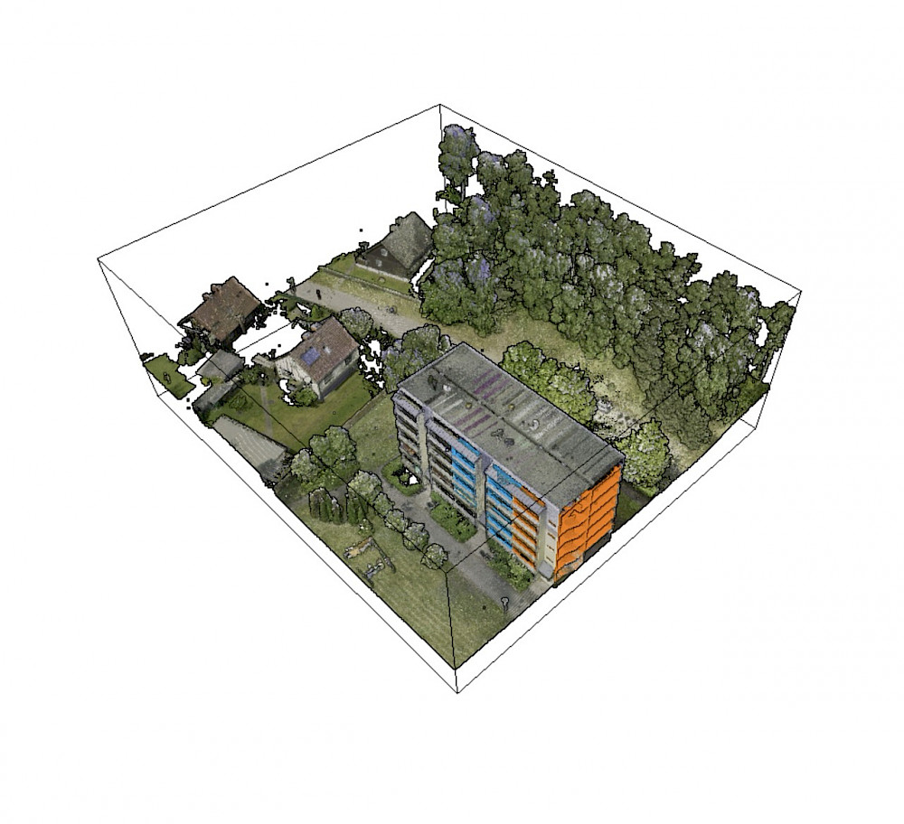
Prefabricated building WBS70, Stettiner Haff
ARS
977m2
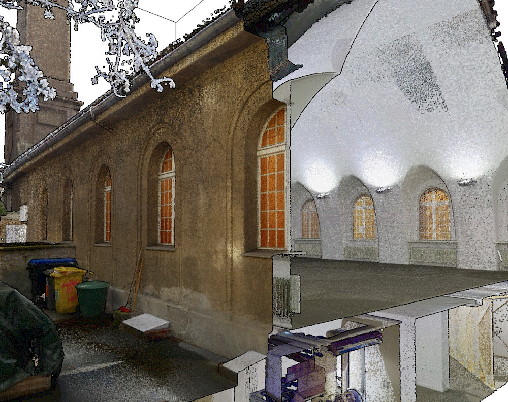
Arsenal, silent green, Berlin Wedding
We can't afford not to do it.
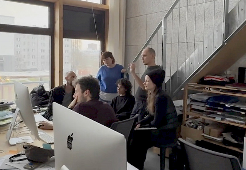
We are architects, sustainability manager, software developer, and designer. We work at these intersections to make planning and developing in existing buildings easier.
To make the potential of data sustainably usable, we develop our services and software in close collaboration with industry clients, as well as technology and research partners.

Ausgezeichnet als innovativstes
Digitalprodukt 2025


Reduce planning risks and simplify communication in existing buildings.
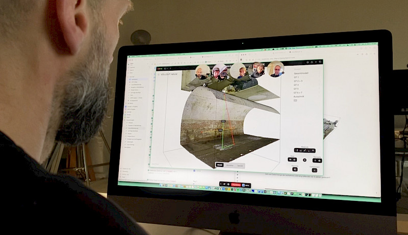
Data Always at Hand
Make large survey data intuitive and accessible to teams, without technical expertise.

Detailing and Annotation
Create measurements, visualize floor plans and sections, and add annotations with simple functions. Make details visible and usable.
Get Everyone on the Same Page
Create powerful storylines with the presentation feature and guide the attention to the key aspects.

Collaborative Evaluation
Assess and document together with precision in the 3D model.
»The challenges of existing buildings are as diverse as the buildings themselves. That’s why we develop the orto space aligned with our customers.«
Felix Matschinske, Co-Founder orto GmbH
Communicate the way
forward
Save time, especially on complex projects. Remote access to building data has been proven to reduce coordination times by up to 80%.
Lower risks for the whole team
Early analysis and realistic cost estimation. Our customers report that risk premiums in complex projects have been reduced or even eliminated entirely.
Focus on planning
With orto space, floor plans can be easily aligned with 3D data, reducing effort for plan creation by up to 50%.
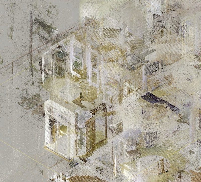
Unlock value of 3D builidng data
Data unlock their value when put to use. With orto space, point cloud data is transformed into analyses, planning foundations, and briefings.
»It makes our work in existing buildings much easier, as everyone is synchronized within a single dataset.«
Max Dengler, CEO of Kombinativ Architekten, Projekt ARS, silent green, Berlin Wedding