DataDigital Building Surveying

Unlocking Circularity
Digital surveying and
potential analysis
Unlocking Circularity
Digital surveying and
potential analysis
orto is an interdisciplinary specialist, integrating building data in collaborative workflows.
We reconstruct and model existing buildings using scan technologies and construction analysis methods to enable sustainable decisions for planners and developers.
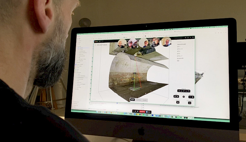
Since 2022, we foster collaboration in 3D building data with our software orto space, bringing precision where it matters most – at the beginning of the planning process.
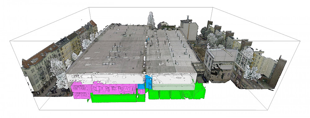
KDL
37.800m2
Vollgut, Kindl Brewery Berlin
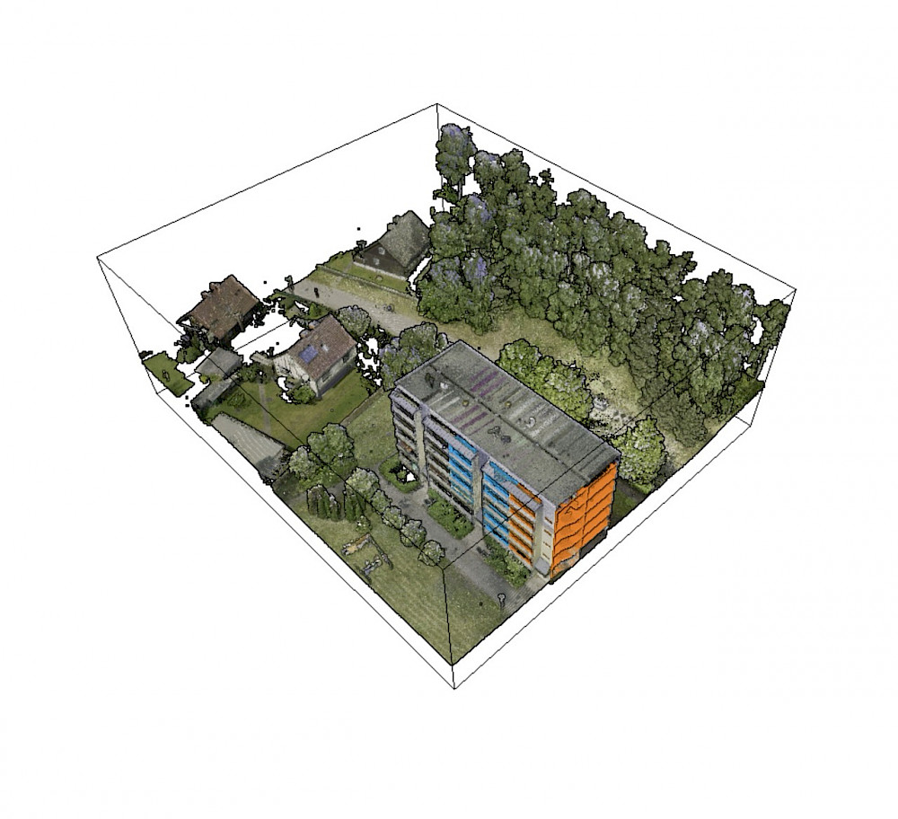
HAFF
4,860m2
Prefabricated building WBS70, Stettiner Haff
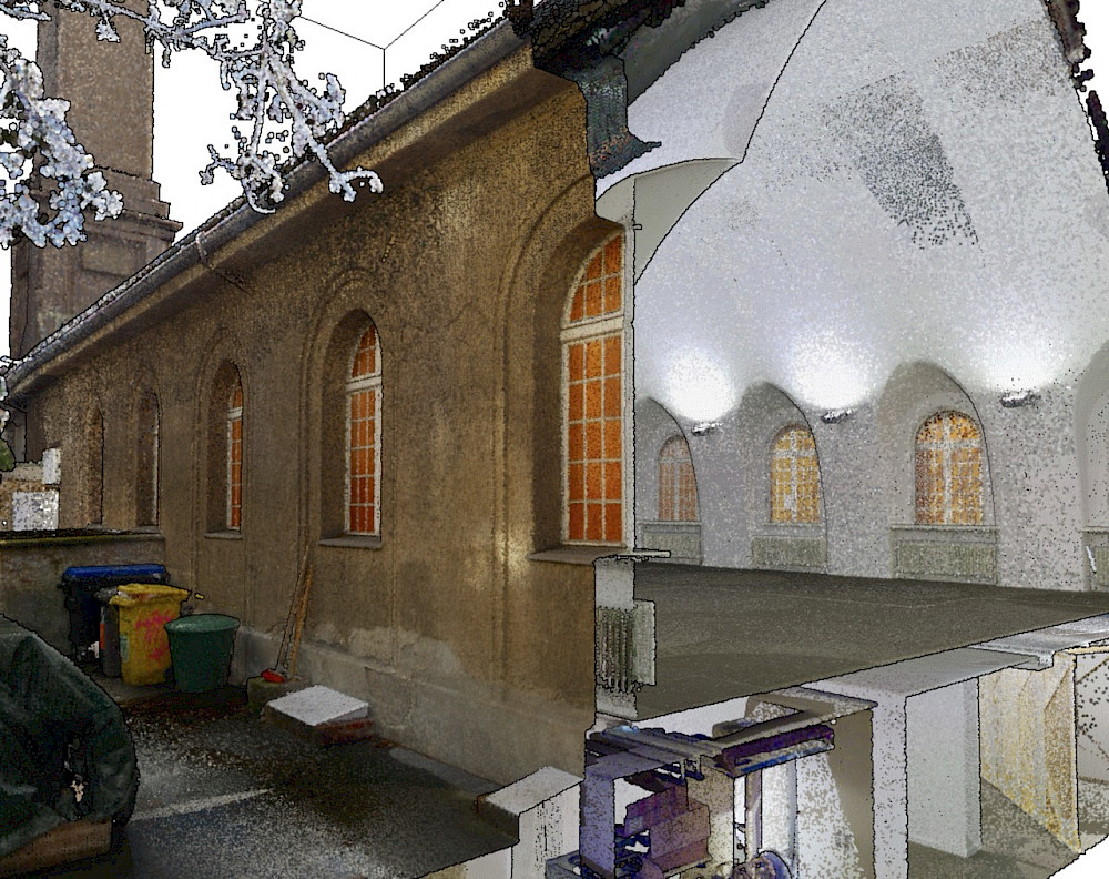
ARS
977m2
Arsenal, silent green, Berlin Wedding
We can't afford not to do it.
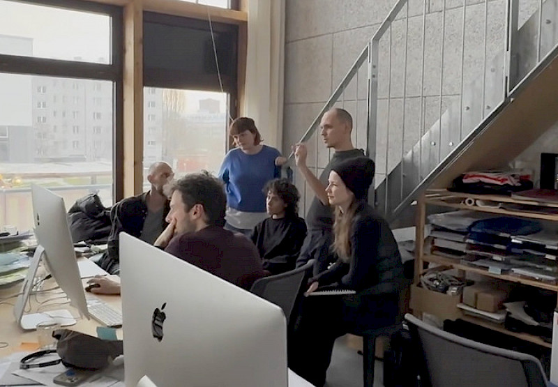
We are architects, sustainability manager, software developer, and designer. We work at these intersections to make planning and developing in existing buildings easier.
To make the potential of data sustainably usable, we develop our services and software in close collaboration with industry clients, as well as technology and research partners.

Ausgezeichnet als innovativstes
Digitalprodukt 2025


We capture and process 3D data for web-based building analysis and precise plan data creation. Our focus is on optimizing workflows for architectural practice in existing buildings.

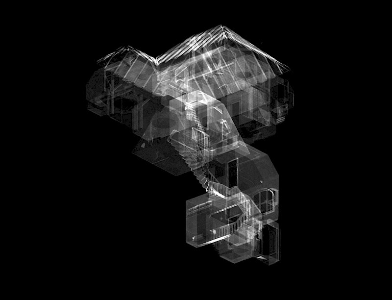
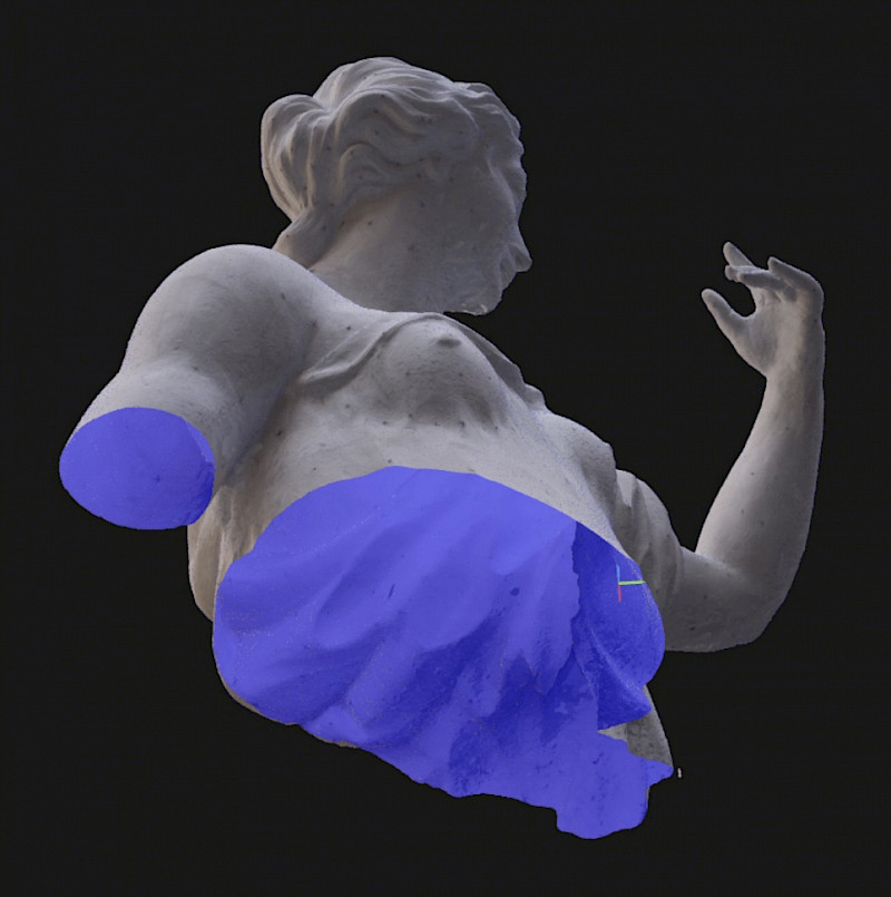
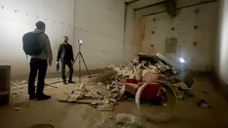
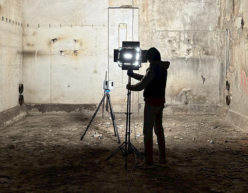
3D Building Surveying
We capture 'as-built' buildings and infrastructures, creating highly accurate models for planning in existing structures.

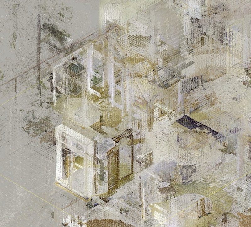
Analysis and Refinement
We extract the maximum value from data. Integrated into orto space, building data becomes accessible to whole teams.

Plan Data Creation
Using building information, we create precise plan data for architectural planning, ESG assessments, and BIM workflows.