orto space
Collaborate in the point cloud model, straight from the browser
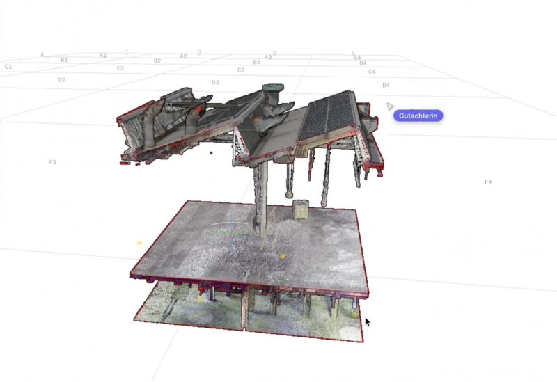
- Measure dimensions, components and condition
- Locate reports and find them again easily
- Bring every trade together in one model

Rethink what’s
already built.
Technology for circular construction.


A single crack, or a drawing that was never archived, raises a lot of questions when you work with existing structures. We need to ask them early.
We provide workflows, models and analytics based on the building as it stands, with all its deviations, defects and potential. To do that, we combine high-precision capture with collaborative technology, building the foundation for circular construction.
We capture to keep.
Collaborate in the point cloud model, straight from the browser
High-precision laser surveys for planning, reuse and life cycle assessment
Reducing risk and enabling high-value reuse in existing buildings, based on data
Component audits and digital archiving
Reuse potential and risk assessment
LCA in accordance with DIN EN ISO 14040
»Working with existing buildings should be a pleasure. So we are building the tools we were missing ourselves.«
Felix Matschinske, Co-Founder → Our Mission
Precision is a head start
Reduce planning risk and cost through precision from the start.
Costs
Cut travel and coordination effort through central data access.1
Time
Increase the value through transparent documentation.2
Market Value
1: AACE International (2020). Cost Estimate Classification System – As Applied in Engineering, Procurement, and Construction.
2: ETASR (2023). Construction Cost Overrun Analysis Studies.
Strategic Projects
Added value for projects









No two projects in existing buildings are alike. We choose the method according to the question that needs answering.
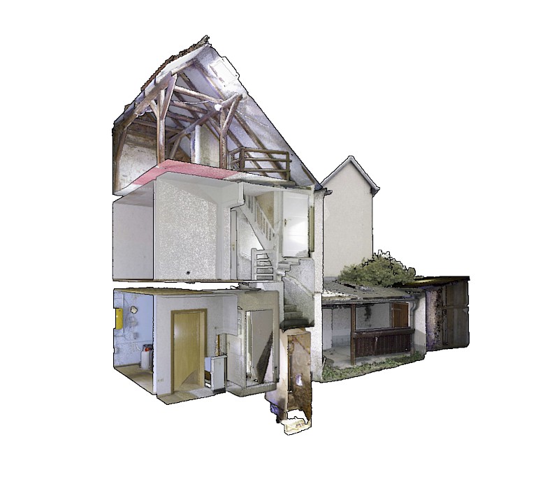
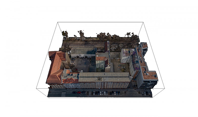
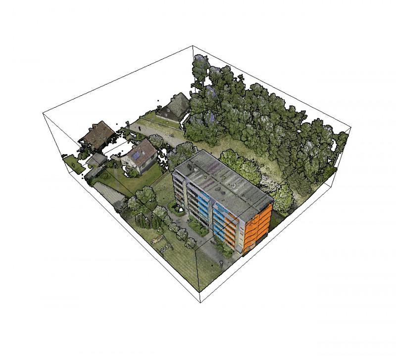
Complex geometries are captured to the millimetre as a point cloud. Roof surveys, facade inspections and terrain models from the air.
The result is a reliable basis for decisions, in the format you work in.

Architecture
Using building information, we create precise plan data for architectural planning, ESG assessments, and BIM workflows.

Deconstruction & Reuse
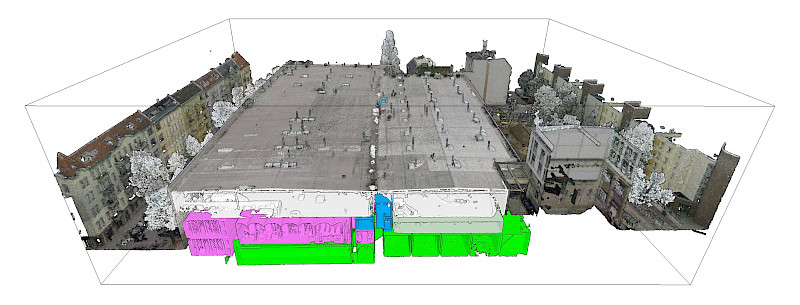
Determining quantities and components precisely, as the basis for circular planning and high-value recovery.

Heritage
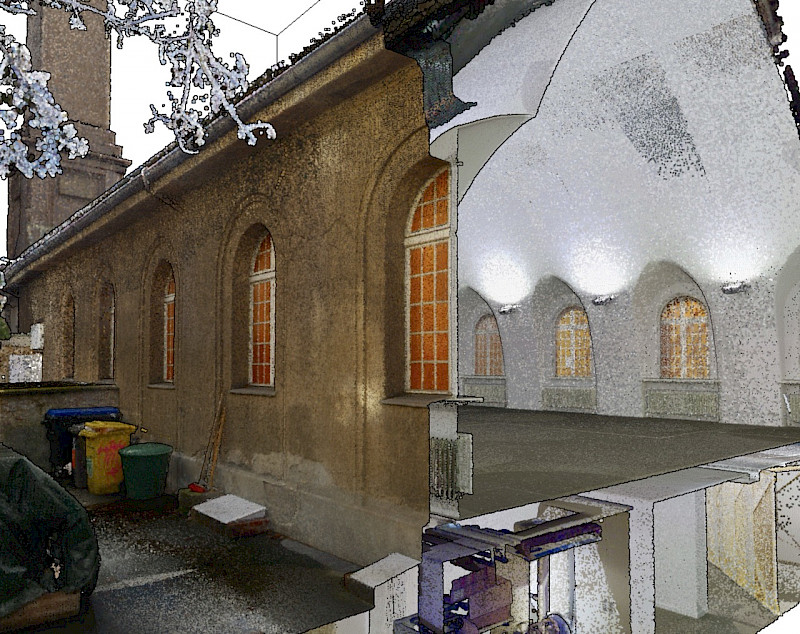
Documenting, measuring and planning with 360° photography and high-precision surveys.

Trades
Work directly on site in the model of the building, with 3D scans and orto space.