orto space
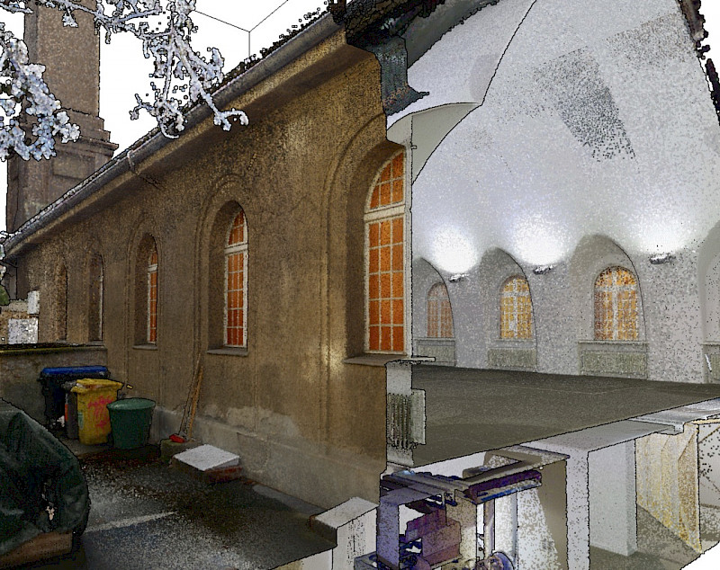
Collaborate in the point cloud model, straight from the browser
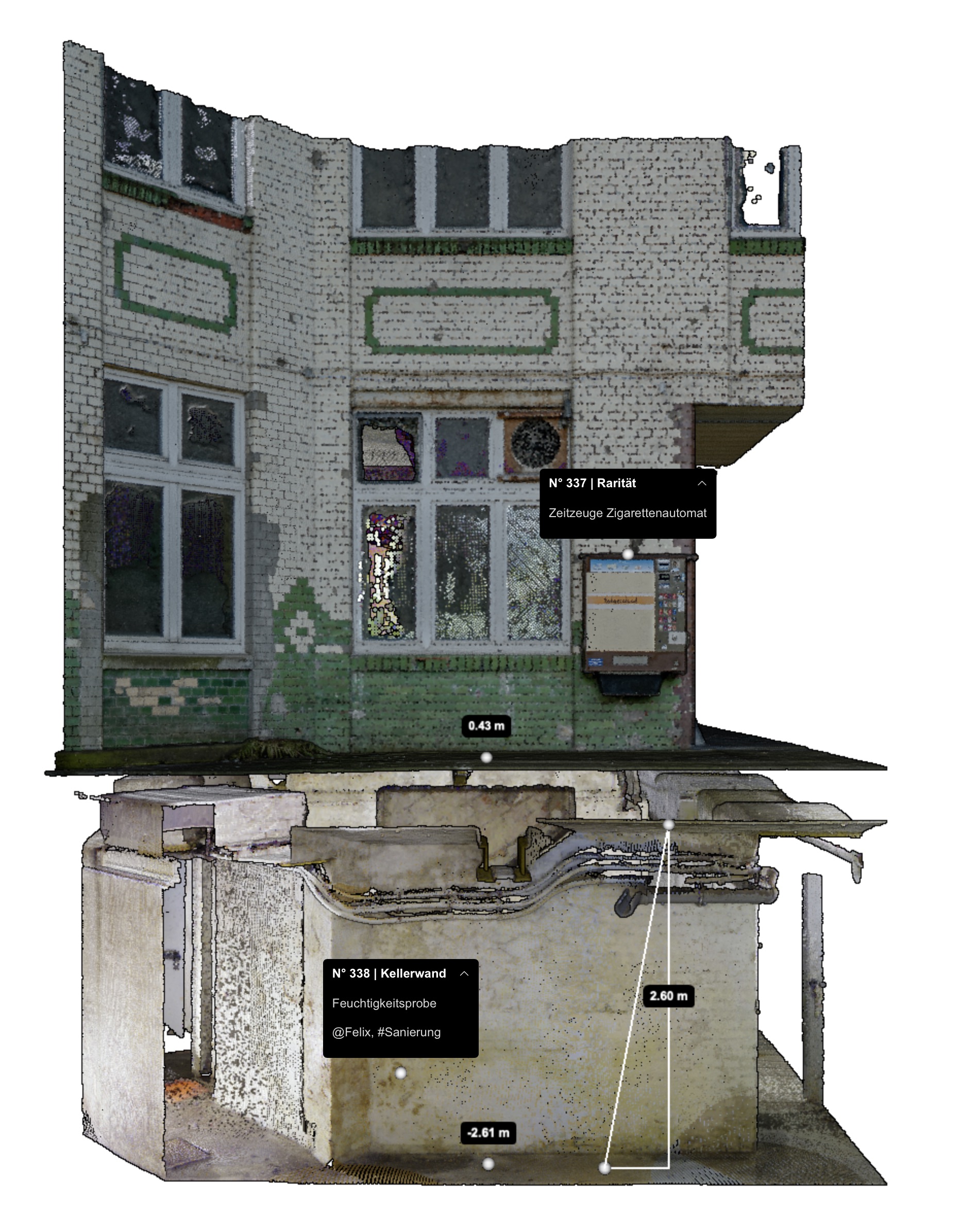
- Measure dimensions, components and condition
- Locate reports and find them again easily
- Bring every trade together in one model

Rethink what’s
already built.
Technology for circular construction.


A single crack, or a drawing that was never archived, raises a lot of questions when you work with existing structures. We need to ask them early.
We provide workflows, models and analytics based on the building as it stands, with all its deviations, defects and potential. To do that, we combine high-precision capture with collaborative technology, building the foundation for circular construction.
We capture to keep.
Collaborate in the point cloud model, straight from the browser
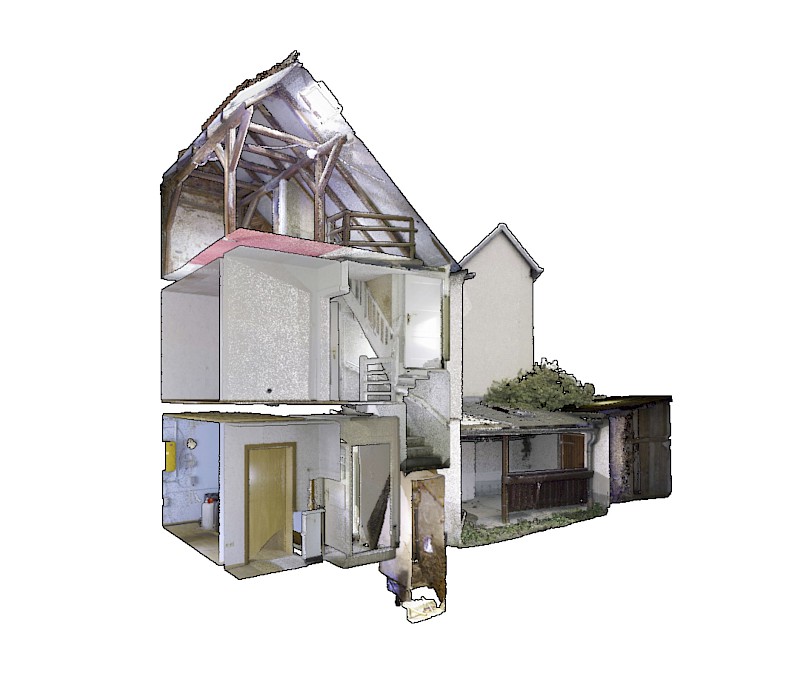
High-precision laser surveys for planning, reuse and life cycle assessment
Reducing risk and enabling high-value reuse in existing buildings, based on data
Component audits and digital archiving
Reuse potential and risk assessment
LCA in accordance with DIN EN ISO 14040
»Working with existing buildings should be a pleasure. So we are building the tools we were missing ourselves.«
Felix Matschinske, Co-Founder → Our Mission
Precision is a head start
Reduce planning risk and cost through precision from the start.
Costs
Cut travel and coordination effort through central data access.1
Time
Increase the value through transparent documentation.2
Market Value
1: AACE International (2020). Cost Estimate Classification System – As Applied in Engineering, Procurement, and Construction.
2: ETASR (2023). Construction Cost Overrun Analysis Studies.
Strategic Projects
Added value for projects








Pettenkofer Industrial Estate, Berlin
Trockland GmbH
7,100m2
Ground Area
31 GB
Raw Data
3D laser scanning and drone flights
Data cleansing and photogrammetry
Data integration in orto space and CAD
BIM modeling
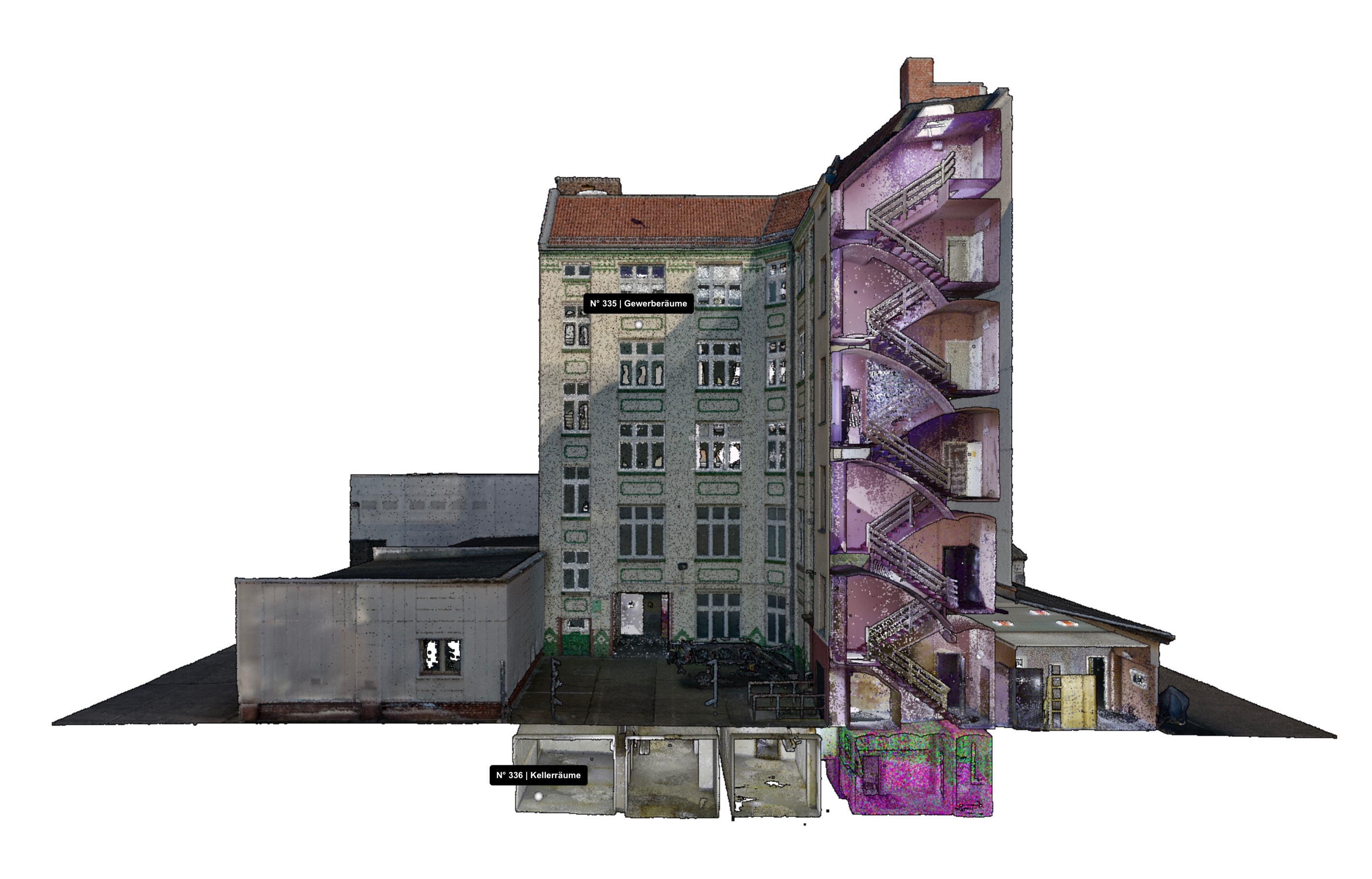
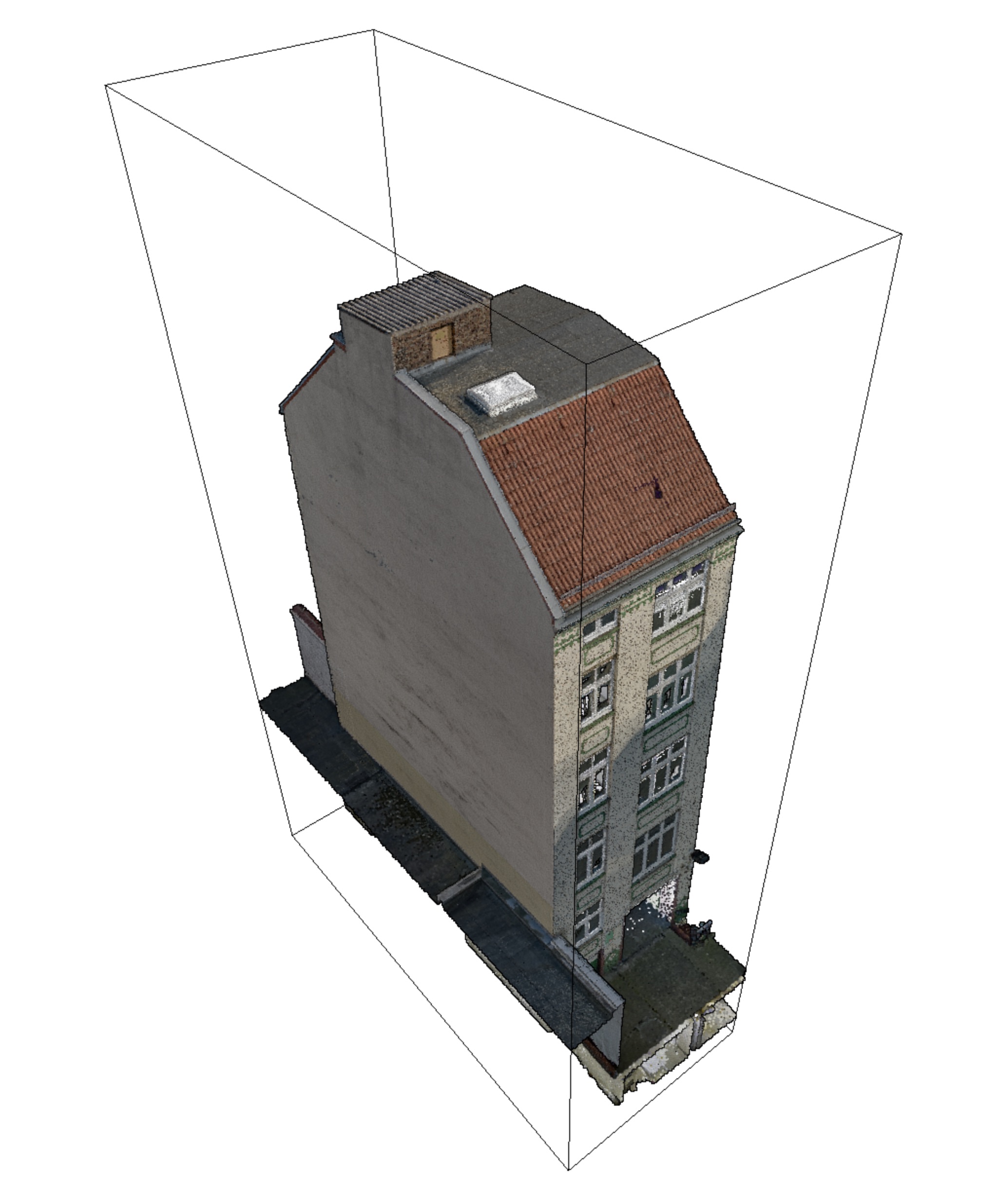
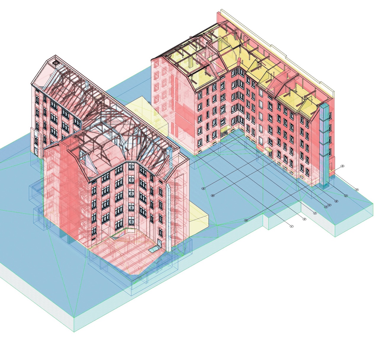
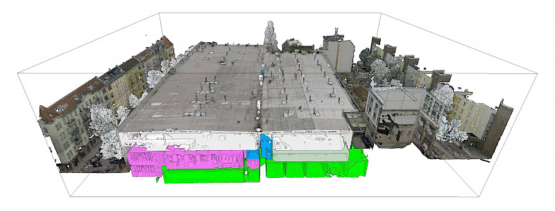
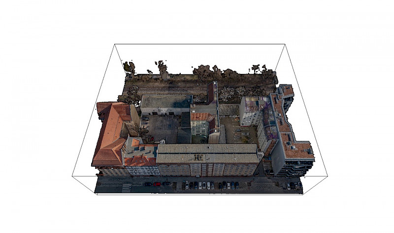
On Pettenkofer Strasse, along a main road that connects Friedrichshain with Treptow and Lichtenberg, there was a commercial centre that was over 100 years old. For the analysis and planning of the partial demolition, two of the buildings intended for reuse were completely digitised, including the entire site with the building shells that had already been approved for demolition.
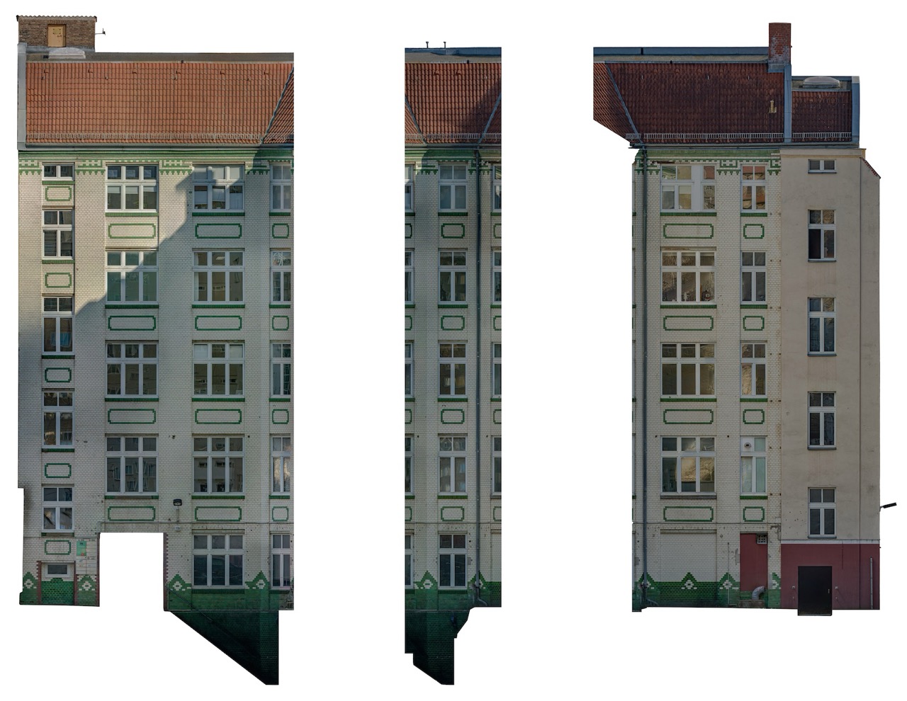
The result was a virtual copy of the commercial yard that combined laser scan data accurate to the millimetre with drone flights in the exterior space. In addition to the exact geometry, details such as masonry cracks, façade stones and roof tiles can be identified as photographic textures in the model.
We created a BIM model for the two detailed buildings, which served as the basis for the work planning for the new perimeter block development. After analysing the digital copy, the development team decided to demolish three of the five buildings and retain two.