DataDigital Building Surveying
Unlocking Circularity
Revealing the potential
of built structures
Unlocking Circularity
Revealing the potential
of built structures
orto is an interdisciplinary specialist in the digitalization and assessment of built structures.
Using technologies for analysis and digital modelling, we reconstruct and visualise existing data to enable sustainable development.
Since 2022, we have been fostering collaboration in 3D inventory models with orto space, allowing precision where it matters most — at the very start of a project.
KDL
37.800m2
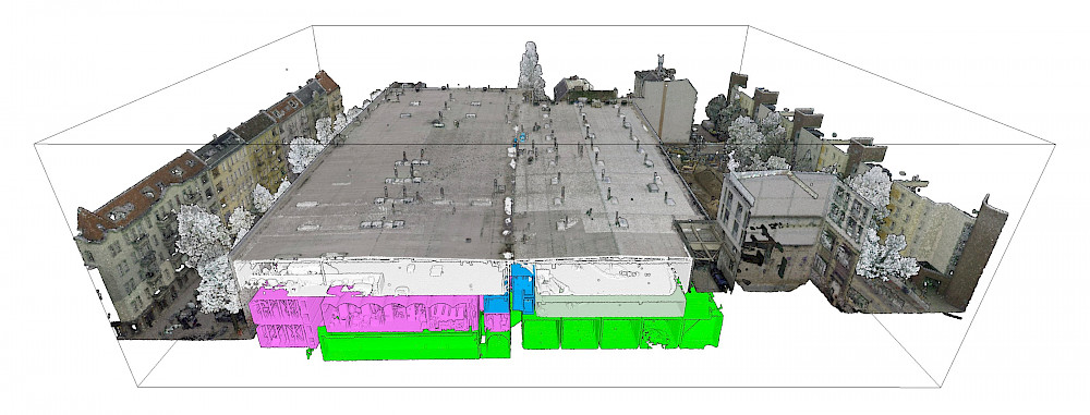
Vollgut, Kindl Brewery Berlin
HAFF
4.860m2
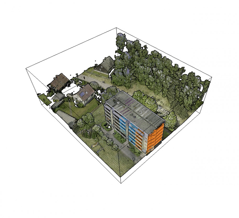
Prefabricated building WBS70, Stettiner Haff
ARS EN
977m2
Arsenal, silent green, Berlin Wedding
We can't afford not to do it.
Pettenkofer Industrial Estate, Berlin
Trockland GmbH
7,100m2
Ground Area
31GB
Raw Data
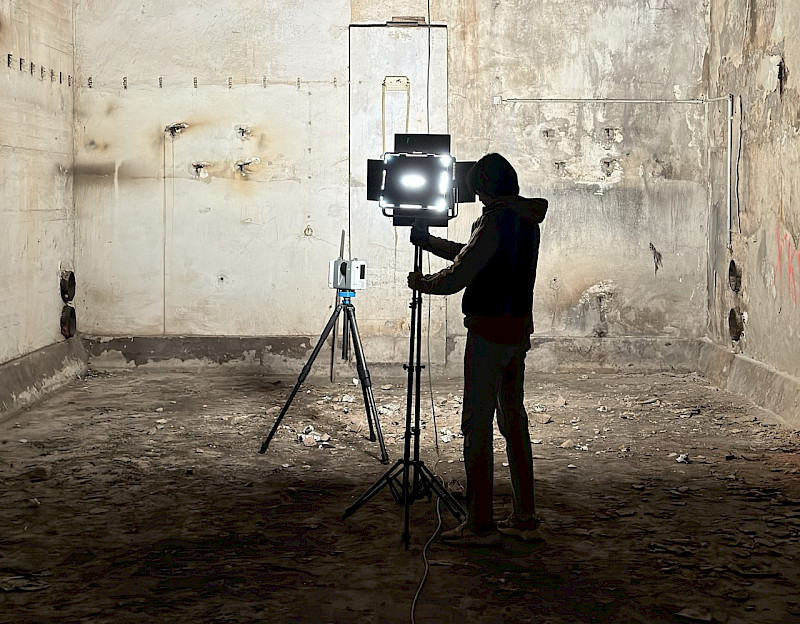
3D laser scanning and drone flights
Data cleansing and photogrammetry
Data integration in orto space and CAD
BIM modeling
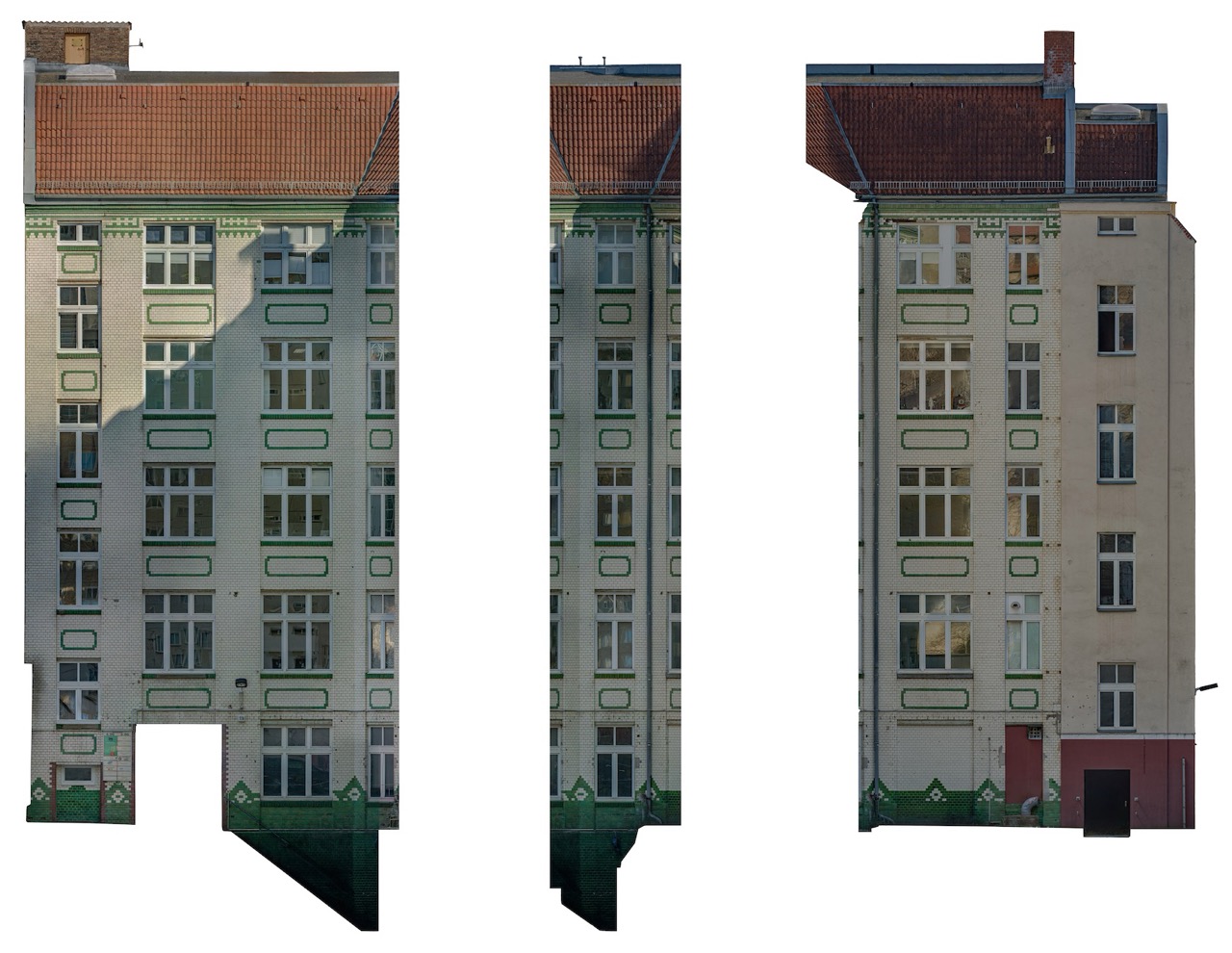
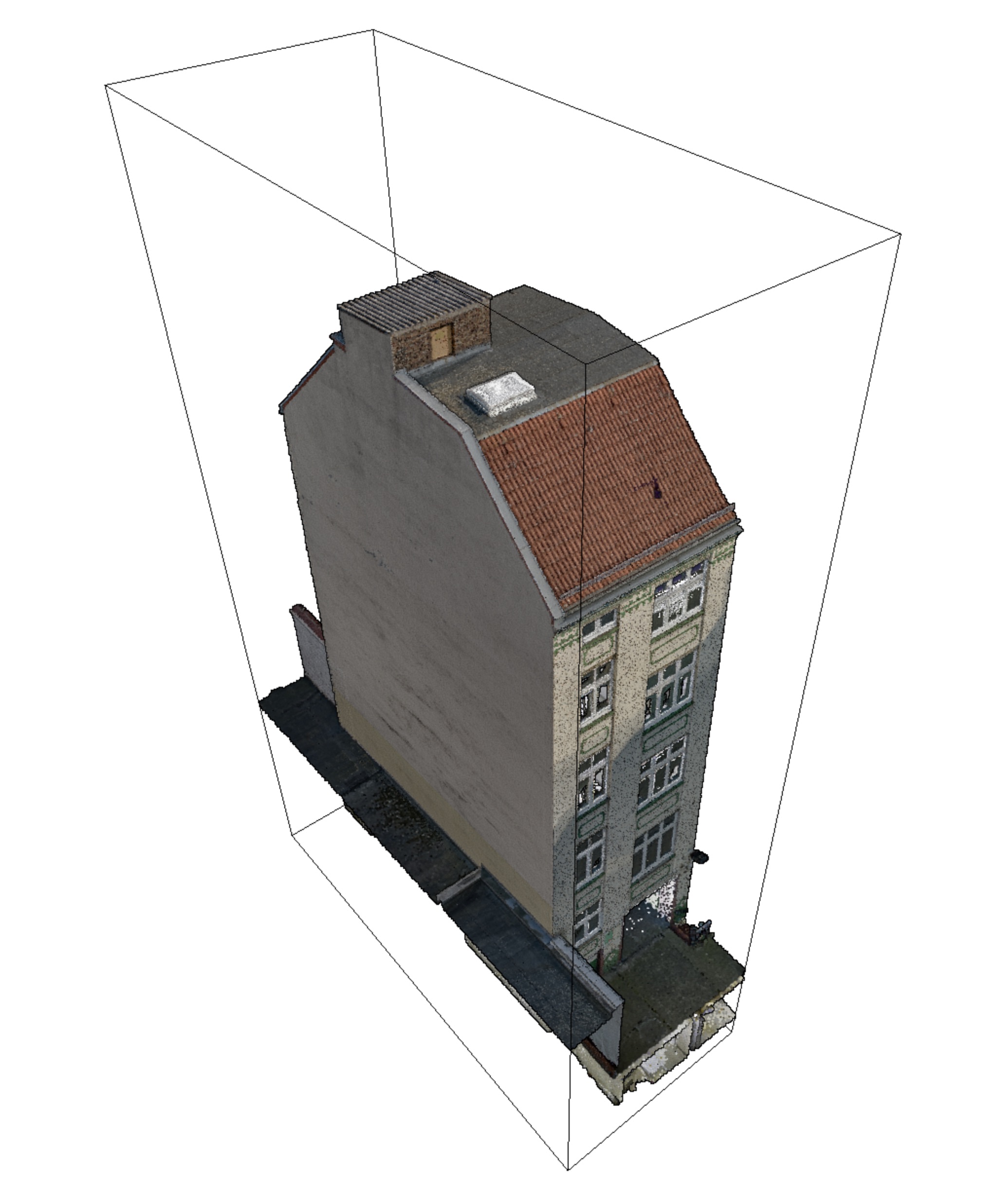
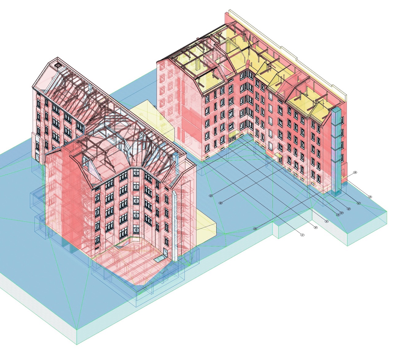
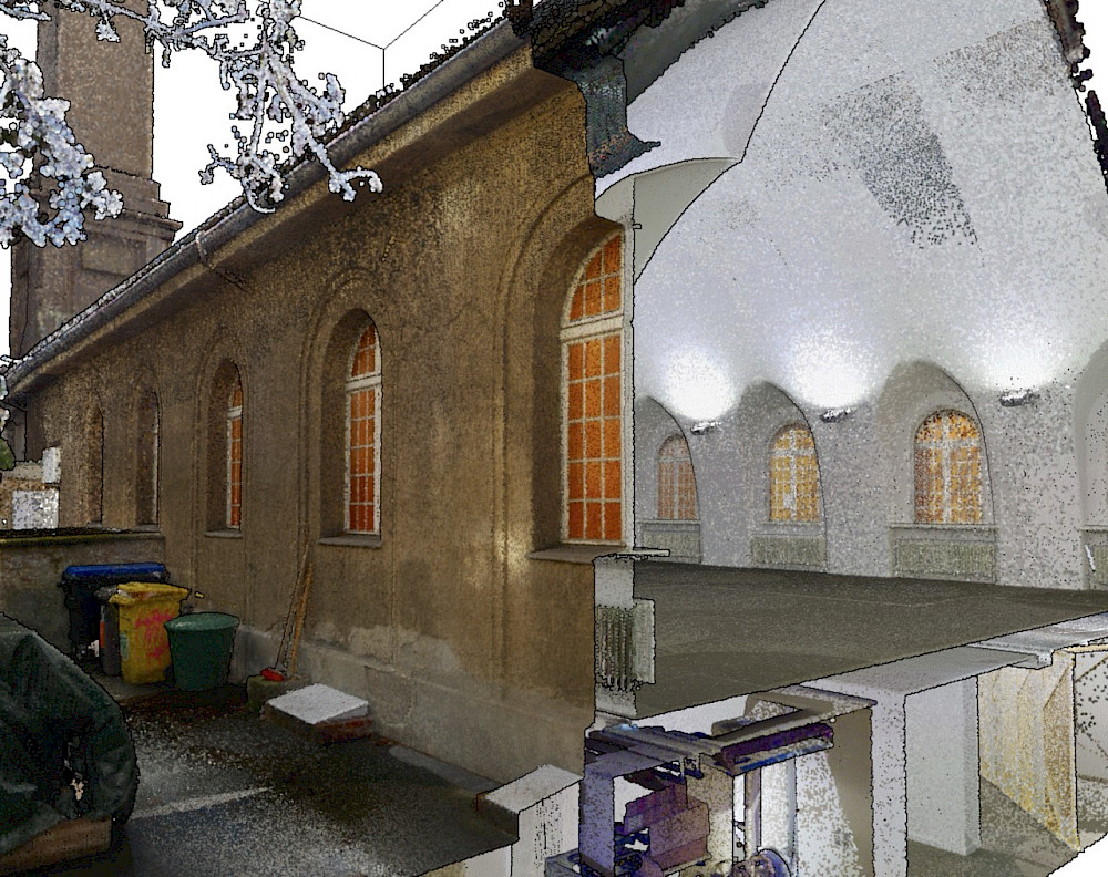
On Pettenkofer Strasse, along a main road that connects Friedrichshain with Treptow and Lichtenberg, there was a commercial centre that was over 100 years old. For the analysis and planning of the partial demolition, two of the buildings intended for reuse were completely digitised, including the entire site with the building shells that had already been approved for demolition.
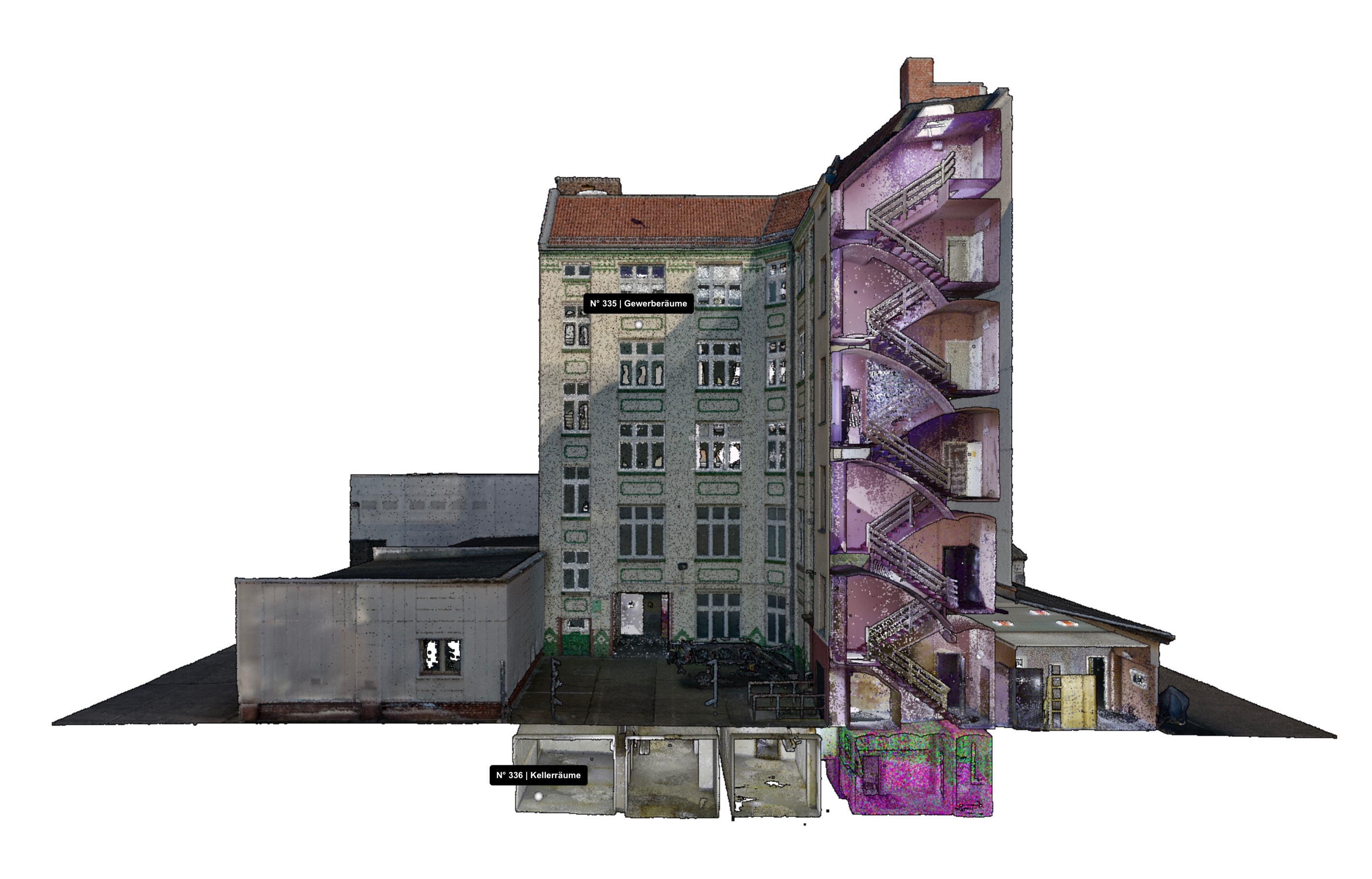
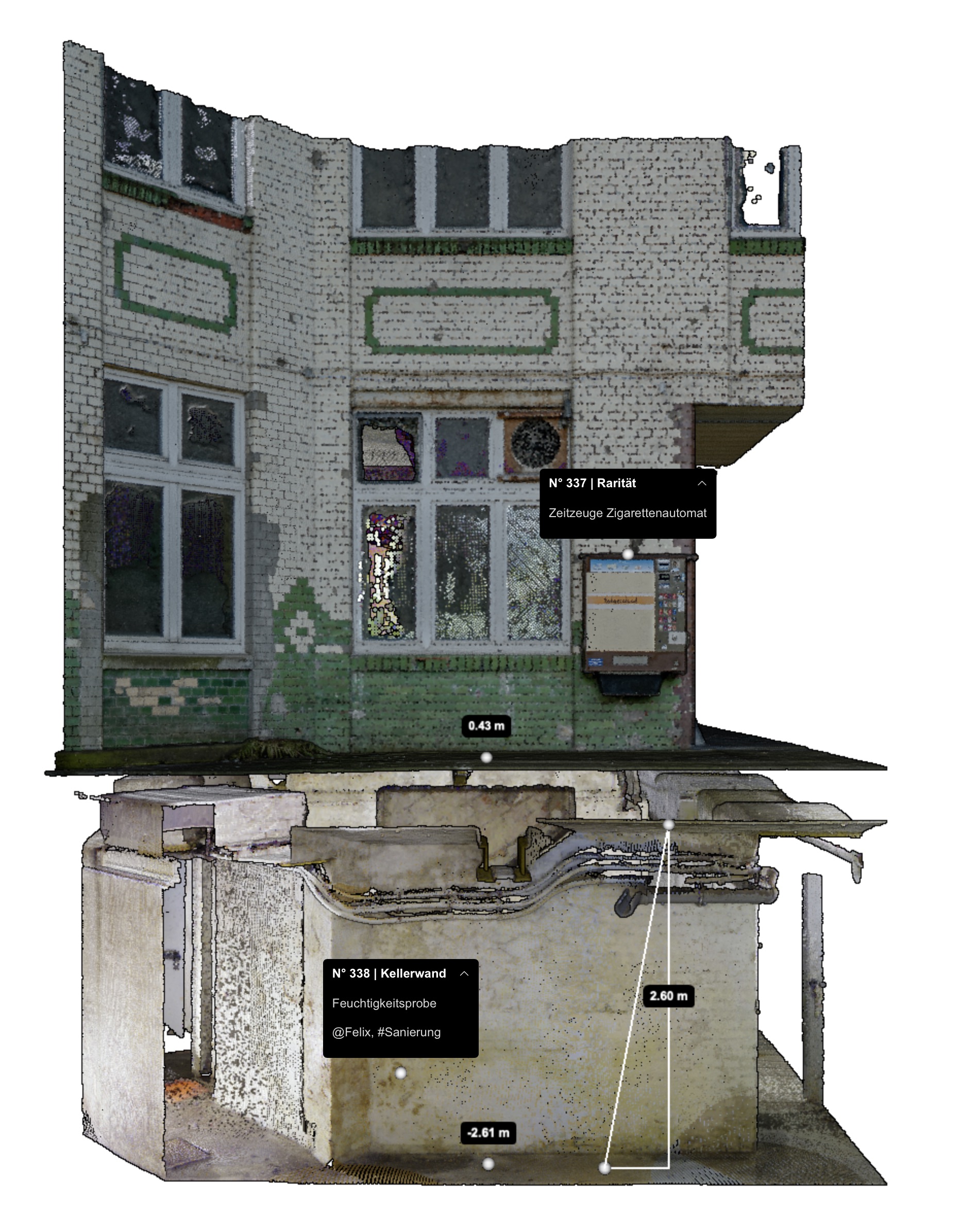
The result was a virtual copy of the commercial yard that combined laser scan data accurate to the millimetre with drone flights in the exterior space. In addition to the exact geometry, details such as masonry cracks, façade stones and roof tiles can be identified as photographic textures in the model.
We created a BIM model for the two detailed buildings, which served as the basis for the work planning for the new perimeter block development. After analysing the digital copy, the development team decided to demolish three of the five buildings and retain two.
